Visual Documentation of Regional Topography and Everyday Life in the Tibetan Cultural Area in the Middle of the 19th Century: the Wise Collection of the British Library
The focus of this research project is the Wise Collection of the British Library.
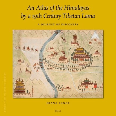
The collection consists of 55 cartographic and ethnographic drawings, which were made in the mid-19th century by a local artist on behalf of the British. The core of the collection consists of six large picture maps illustrating the geographic space between Ladakh and Central Tibet. The quality of the drawings are not characterized by an exact match to geographic data at that time, but by the way they open up the opportunity to see Tibet in the mid-19th century through the eye of its former observer.
The Wise Collection is perceived in this research project primarily as a visual encyclopedia and a compendium of knowledge. Research intrest therefore is twofold : (1) for the study of the procurement, collection, and visual representation of knowledge about Tibet - the Wise Collection serves as a case study, (2) to gain knowledge about the intentions and motives of these processes.
The monograph was published by Brill in 2020.

Lange, Diana. 2020. An Atlas of the Himalayas by a 19th Century Tibetan Lama: A Journey of Discovery. Leiden: Brill.
A guest post on the topic and monograph by Dr. Diana Lange published on July 2, 2020 may be read here: "An Atlas of the Himalayas by a 19th Century Tibetan Lama: A Journey of Discovery".
